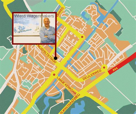
Location: Wassenaar 🌎
Location: Wassenaar, Netherlands
Administration Region: Zuid-Holland
Population: 26949
ISO2 Code: Zuid-Holland
ISO3 Code: NLD
Location Type: Lower-level Admin Capital
Latitude: 52.15
Longitude: 4.4
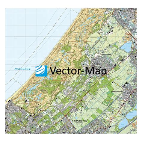
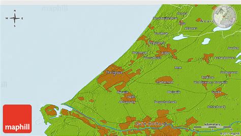
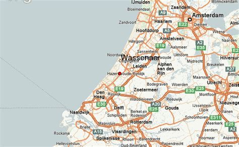
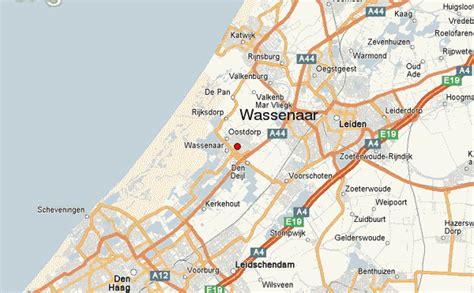
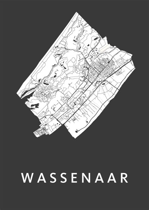
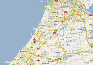
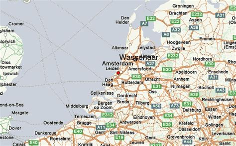
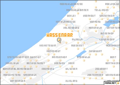
Wassenaar (Dutch pronunciation: [ˈʋɑsənaːr] ; population: 26,949 in 2021) is a municipality and town located in the province of South Holland, on the western coast of the Netherlands.
An affluent suburb of The Hague, Wassenaar lies 10 km (6 mi) north of that city on the N44/A44 highway near the North Sea coast. It is part of the Haaglanden region and the Rotterdam–The Hague metropolitan area. The municipality covers an area of 62.40 km2 (24.09 sq mi), of which 11.29 km2 (4.36 sq mi) is covered by water.
Wassenaar is home to some of the Netherlands’ richest residential neighborhoods as well as the country’s most expensive street, the Groot Haesebroekseweg.

Top Wassenaar HD Maps, Free Download 🗺️
Map
Maps
United States
United States
World Map
China
China
