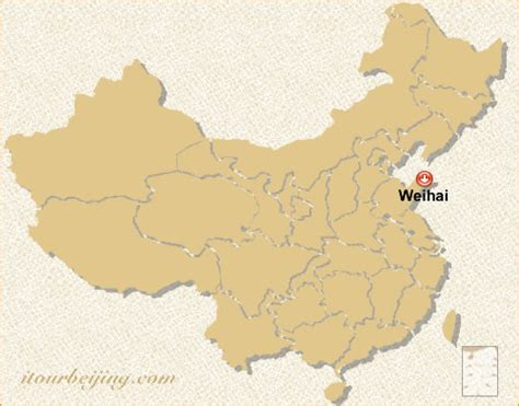
Weihai (Chinese: 威海; pinyin: Wēihǎi), formerly called Weihaiwei (traditional Chinese: 威海衞; simplified Chinese: 威海卫; pinyin: Wēihǎiwèi; lit. ‘Mighty Sea Fort’), is a prefecture-level city and major seaport in easternmost Shandong province. It borders Yantai to the west and the Yellow Sea to the east, and is the closest Chinese city to South Korea (specifically, Chengshan to Yeonpyeongdo, 174km).
Weihai’s population was 2,804,771 as of the 2020 Chinese census, of whom 1,164,730 lived in the current built-up (or metro) area of (Huancui District) even though Wendeng district to the south with 563,529 inhabitants is soon being conurbated. There are two county-level cities within Weihai; Rongcheng has a built up area with 714,211 inhabitants, while Rushan had 464,078 inhabitants in 2020. A subway is planned with 4 lines and 204.6 km (127.1 mi) route length to link all city districts. The first phase, Line 1 and 2 is planned for 2025.