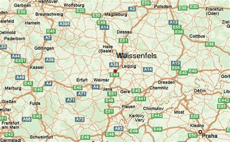
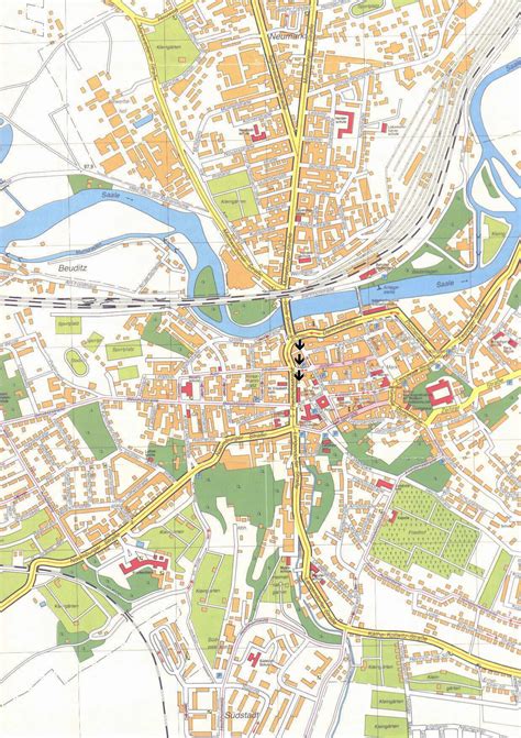
Location: Weißenfels 🌎
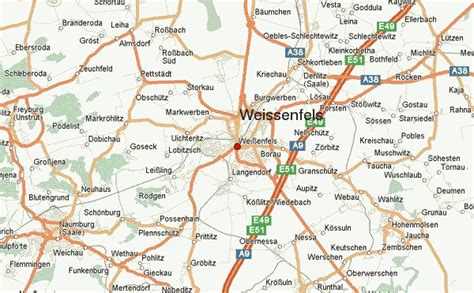
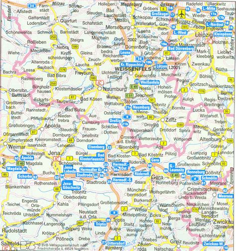
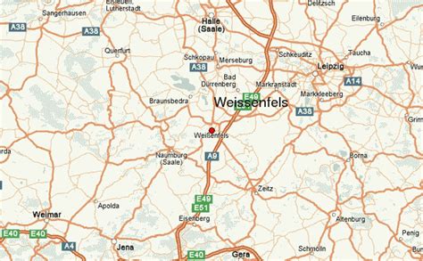
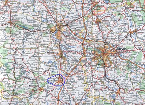
Location: Weißenfels, Germany
Administration Region: Saxony-Anhalt
Population: 40409
ISO2 Code: Saxony-Anhalt
ISO3 Code: DEU
Location Type:
Latitude: 51.2
Longitude: 11.9667
Weißenfels (IPA: [ˈvaɪsənˌfɛls]; often written in English as Weissenfels) is the largest town of the Burgenlandkreis district, in southern Saxony-Anhalt, central Germany. It is situated on the river Saale, approximately 30 km (20 mi) south of Halle.

Top Weißenfels HD Maps, Free Download 🗺️
Map
Maps
United States
United States
World Map
China
China
