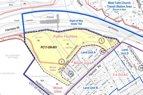
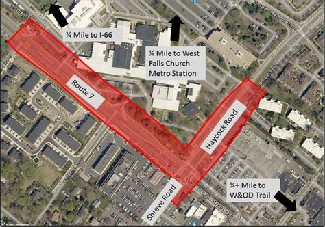
Location: West Falls Church 🌎
Location: West Falls Church, United States
Administration Region: Virginia
Population: 31023
ISO2 Code: Virginia
ISO3 Code: USA
Location Type:
Latitude: 38.8656
Longitude: -77.1878
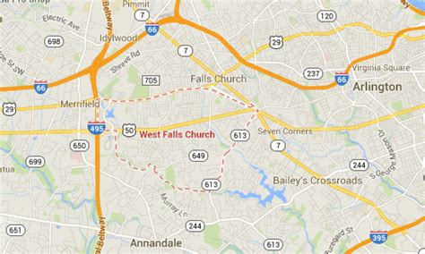
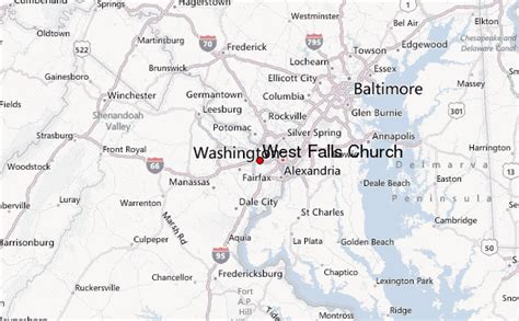
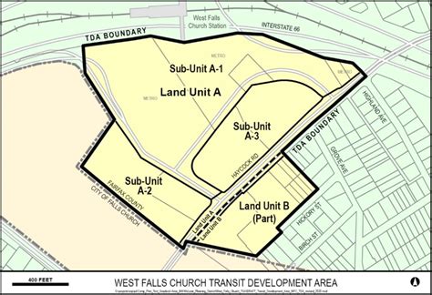
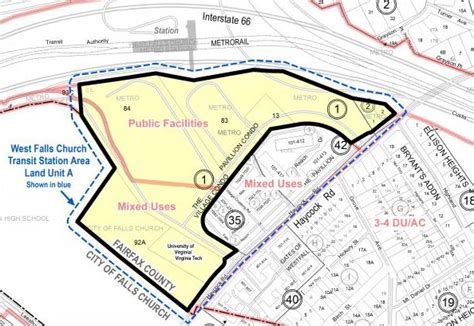
West Falls Church is a census-designated place (CDP) in Fairfax County, Virginia, United States. The population was 29,207 at the 2010 census.
Before 2010, West Falls Church was officially named Jefferson. Outside of the Jefferson Village neighborhood, “Jefferson” generally is not used locally to refer to the area bounding Falls Church city to the south and southwest that comprises the CDP. Likewise, “West Falls Church” is rarely used to describe the area but is usually applied to areas west of Falls Church city or near West Falls Church Metro station. The bulk of it is made of subdivisions built in the 1940s and early 1950s, including Jefferson Village, Westlawn, Hillwood, Sleepy Hollow, Woodley, Raymondale and Broyhill Park.

Top West Falls Church HD Maps, Free Download 🗺️
Map
Maps
United States
United States
World Map
China
China
