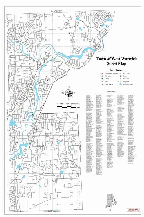
Location: West Warwick 🌎
Location: West Warwick, United States
Administration Region: Rhode Island
Population: 30823
ISO2 Code: Rhode Island
ISO3 Code: USA
Location Type:
Latitude: 41.7
Longitude: -71.5167
West Warwick is a town in Kent County, Rhode Island, United States. The population was 31,012 at the 2020 census.West Warwick was incorporated in 1913, making it the youngest town in the state. Prior to 1913, the town, situated on the western bank of the Pawtuxet River, was the population and industrial center of the larger town of Warwick. The town split because local Democratic politicians wanted to consolidate their power and isolate their section of town from the Republican-dominated farmland in the east.

Top West Warwick HD Maps, Free Download 🗺️
Map
Maps
United States
United States
World Map
China
China
