Location: Wethersfield 🌎
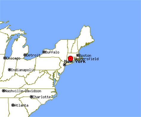
Location: Wethersfield, United States
Administration Region: Connecticut
Population: 27162
ISO2 Code: Connecticut
ISO3 Code: USA
Location Type:
Latitude: 41.7142
Longitude: -72.6525
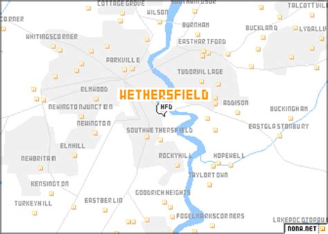
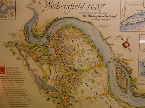
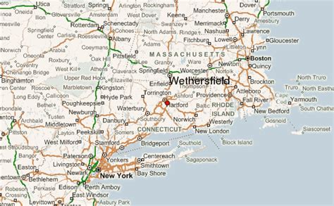
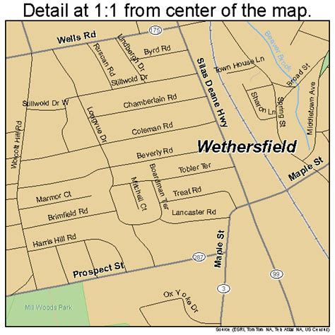
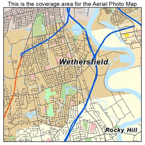
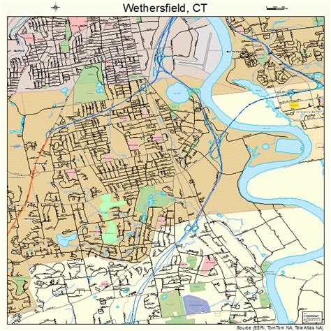
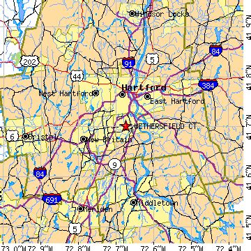
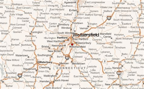
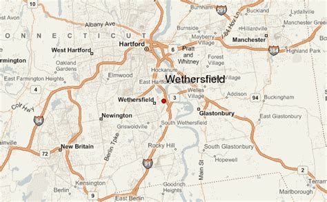
Wethersfield is a town located in Hartford County, Connecticut, United States. It is located immediately south of Hartford along the Connecticut River. Its population was 27,298 at the time of the 2020 census.Many records from colonial times spell the name “Weathersfield” and “Wythersfield,” while Native Americans called it Pyquag. “Watertown” is a variant name.The neighborhood known as Old Wethersfield is the state’s largest historic district, spanning 2 sq mi (5.2 km2) and containing 1,100 buildings, dating to the 17th, 18th and 19th centuries. The town is primarily served by Interstate 91.
Top Wethersfield HD Maps, Free Download 🗺️
Map
Maps
United States
United States
World Map
China
China
