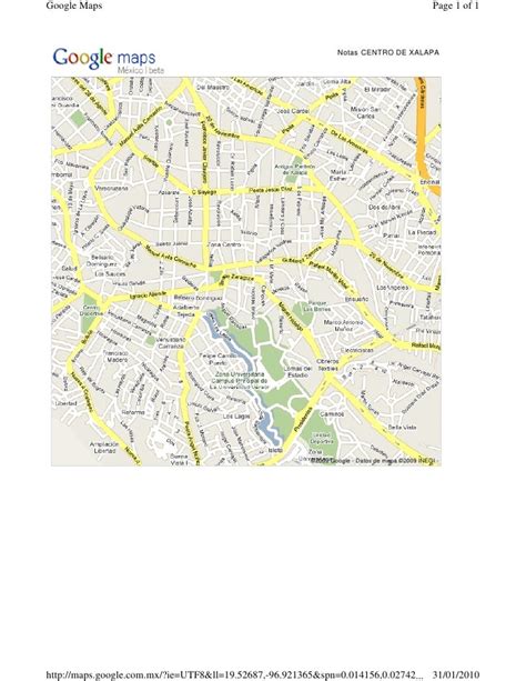
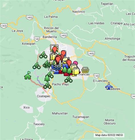
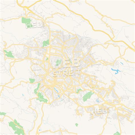
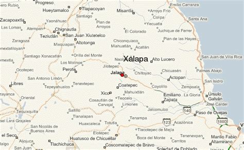
Location: Xalapa 🌎
Location: Xalapa, Mexico
Administration Region: Veracruz
Population: 424755
ISO2 Code: Veracruz
ISO3 Code: MEX
Location Type: First-level Admin Capital
Latitude: 19.54
Longitude: -96.9275
Xalapa or Jalapa (English: , Spanish: [xaˈlapa] ), officially Xalapa-Enríquez (IPA: [xaˈlapa enˈrikes]), is the capital city of the Mexican state of Veracruz and the name of the surrounding municipality. In the 2005 census the city reported a population of 387,879 and the municipality of which it serves as municipal seat reported a population of 413,136. The municipality has an area of 118.45 km2. Xalapa lies near the geographic center of the state and is the second-largest city in the state after the city of Veracruz to the southeast.

Top Xalapa HD Maps, Free Download 🗺️
Map
Maps
United States
United States
World Map
China
China


