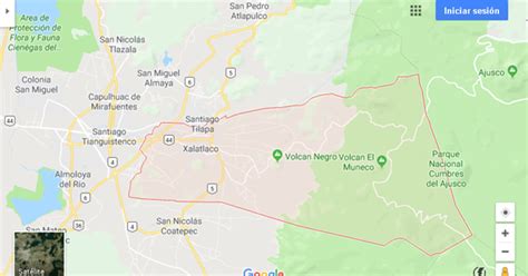
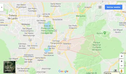
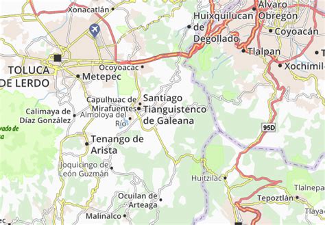
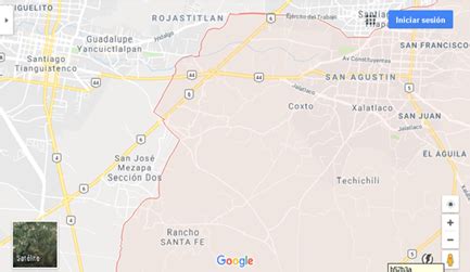
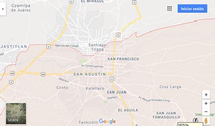
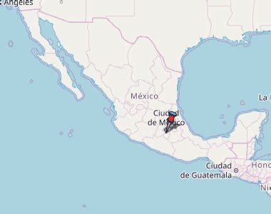
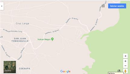
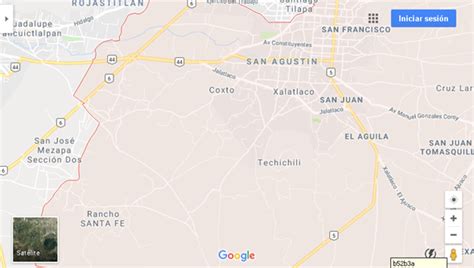
Location: Xalatlaco 🌎
Location: Xalatlaco, Mexico Administration Region: México Population: 29572 ISO2 Code: México ISO3 Code: MEX Location Type: Lower-level Admin Capital Latitude: 19.1811 Longitude: -99.4164
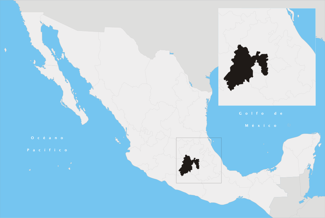
Xalatlaco is a municipality in Mexico State in Mexico. The municipality covers an area of 93.23 km². It is one of the 17 municipalities that border Mexico City, bordering the capital city’s southwest side. As of the 2010 census, the municipality had a total population of 26,865 inhabitants.
Top Xalatlaco HD Maps, Free Download 🗺️
Map
Maps
United States
United States
World Map
China
China