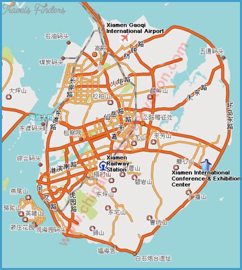
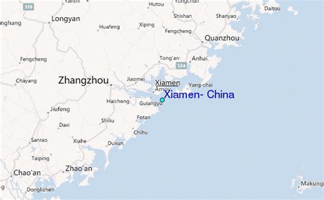
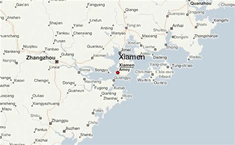
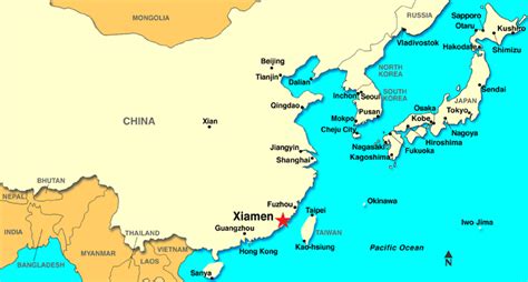
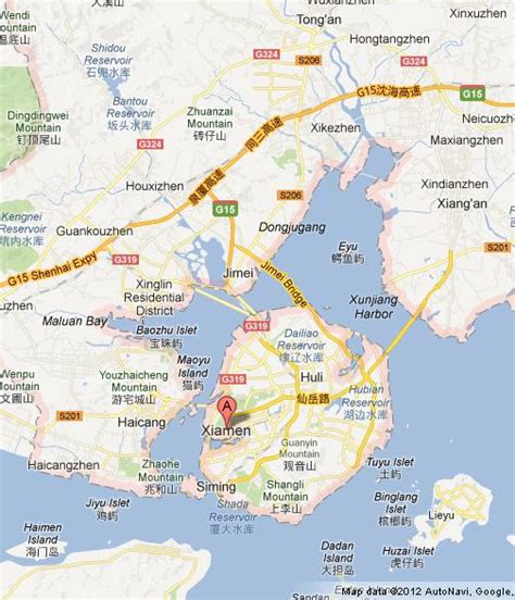
Xiamen (UK: sh(y)ah-MEN, US: -MUN; simplified Chinese: 厦门; traditional Chinese: 廈門; pinyin: Xiàmén), also known as Amoy ( ə-MOY; from Hokkien pronunciation, Pe̍h-ōe-jī: Ēe-muî / Ē-mn̂g, IPA: [e˨˩ mŋ̍˨˦]), is a sub-provincial city in southeastern Fujian, People’s Republic of China, beside the Taiwan Strait. It is divided into six districts: Huli, Siming, Jimei, Tong’an, Haicang, and Xiang’an. All together, these cover an area of 1,700.61 square kilometers (656.61 sq mi) with a population of 5,163,970 as of 2020 and estimated at 5.308 million as of 31 December 2022. The urbanized area of the city has spread from its original island to include most parts of all six of its districts, and with 4 Zhangzhou districts (Xiangcheng, Longwen, Longhai and Changtai), form a built-up area of 7,284,148 inhabitants. This area also connects with Quanzhou in the north, making up a metropolis of nearly ten million people. The Kinmen Islands (Quemoy) administered by the Republic of China (Taiwan) which lie less than 6 kilometers (4 mi) away separated by Xiamen Bay. As part of the Opening Up Policy under Deng Xiaoping, Xiamen became one of China’s original four special economic zones opened to foreign investment and trade in the early 1980s.
Xiamen Island possessed a major international seaport. The port of Xiamen is a well-developed first-class trunk line port in the Asia-Pacific region. It is ranked the 8th-largest container port in China and ranks 17th in the world. It is the 4th port in China with the capacity to handle 6th-generation large container vessels. On 31 August 2010, Xiamen Port incorporated the neighboring port of Zhangzhou to form the largest port of China’s Southeast. Ever since the 12th century, Xiamen was also an important origin for many migrants to Singapore, Malaysia, Indonesia and the Philippines. The overseas Chinese used to support Xiamen’s educational and cultural institutions. Xiamen is classified as a Large-Port Metropolis.Xiamen is one of the top 70 cities in the world by scientific research as tracked by the Nature Index. The city is home to several major universities, including Xiamen, one of China’s most prestigious universities as a member of the Project 985, Huaqiao, Jimei, Xiamen University of Technology and Xiamen Medical College.