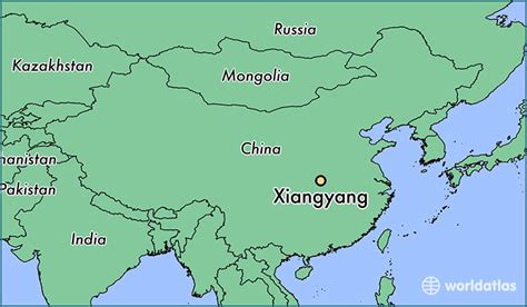
Location: Xiangyang 🌎
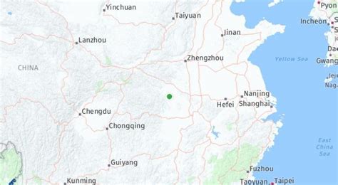
Location: Xiangyang, China Administration Region: Hubei Population: 5680000 ISO2 Code: Hubei ISO3 Code: CHN Location Type: Lower-level Admin Capital Latitude: 32.01 Longitude: 112.122
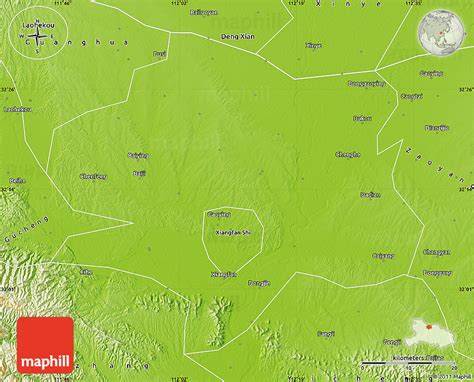
Xiangyang is a prefecture-level city in northwestern Hubei province, China and the second largest city in Hubei by population. It was known as Xiangfan from 1950 to 2010. The Han River runs through Xiangyang’s centre and divides the city north–south. The city itself is an agglomeration of two once separate cities: Fancheng and Xiangyang (or Xiangcheng), and was known as Xiangfan before 2010. What remains of old Xiangyang is located south of the Han River and contains one of the oldest still-intact city walls in China, while Fancheng is located to the north of the Han River. Both cities served prominent historical roles in both ancient and pre-modern Chinese history. Today, the city has been a target of government and private investment as the country seeks to urbanize and develop the interior provinces. Its built-up area made up of 3 urban districts had 2,319,640 inhabitants at the 2020 census while the whole municipality contained approximately 5,260,951 people.

Top Xiangyang HD Maps, Free Download 🗺️
Map
Maps
United States
United States
World Map
China
China