Location: Xingtai 🌎
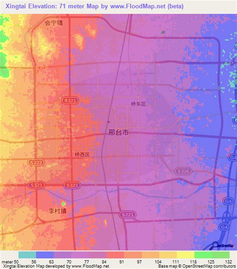
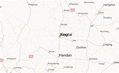
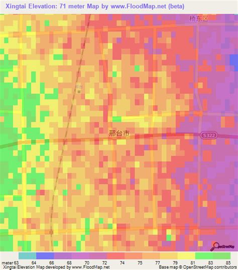
Location: Xingtai, China Administration Region: Hebei Population: 7111106 ISO2 Code: Hebei ISO3 Code: CHN Location Type: Latitude: 37.0717 Longitude: 114.5048
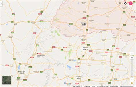
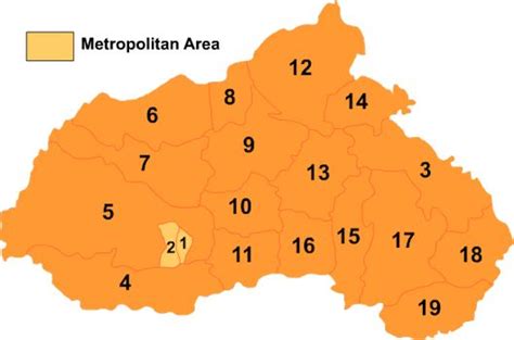
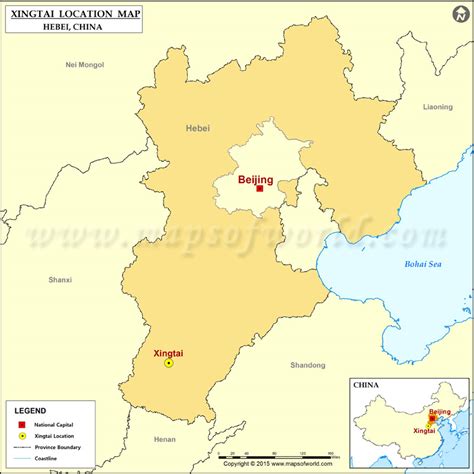
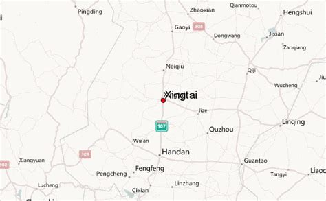
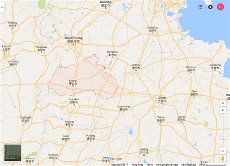
Xingtai (simplified Chinese: 邢台; traditional Chinese: 邢臺; pinyin: Xíngtái; Wade–Giles: Hsing2-tʻai2), formerly known as Xingzhou and Shunde, is a prefecture-level city in southern Hebei province, People’s Republic of China. It has a total area of 12,486 km2 (4,821 sq mi) and administers 4 districts, 2 county-level cities and 12 counties. At the 2020 census, its population was 7,111,106 inhabitants. It borders Shijiazhuang and Hengshui in the north, Handan in the south, and the provinces of Shandong and Shanxi in the east and west respectively.

Top Xingtai HD Maps, Free Download 🗺️
Map
Maps
United States
United States
World Map
China
China