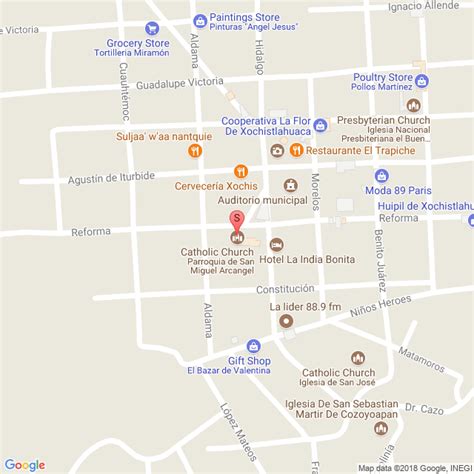
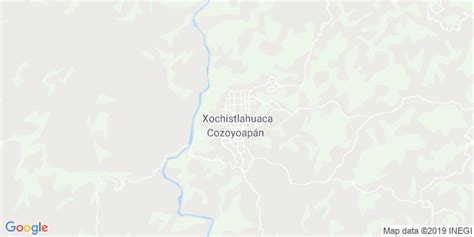
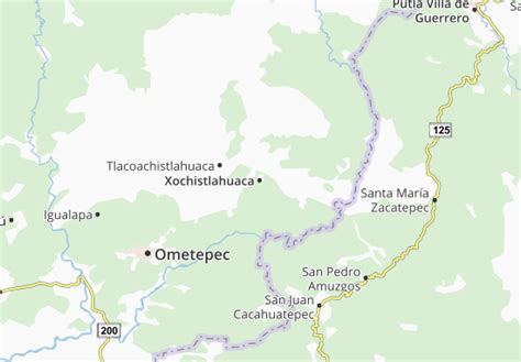
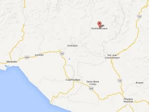
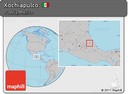
Location: Xochistlahuaca 🌎
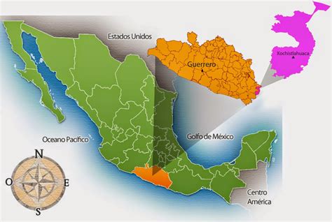
Location: Xochistlahuaca, Mexico
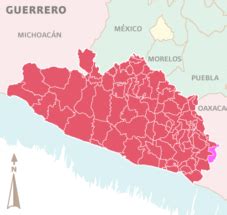
Administration Region: Guerrero
Population: 28089
ISO2 Code: Guerrero
ISO3 Code: MEX
Location Type: Lower-level Admin Capital
Latitude:
Longitude:
Xochistlahuaca is a town in Xochistlahuaca Municipality located in the southeast corner of the Mexican state of Guerrero. It is part of this state’s Costa Chica region and while near the Pacific Ocean, most of the territory is mountainous. The population is dominated by the indigenous Amuzgo ethnicity, whose women are noted for their traditional hand woven garments, especially the huipil, which is made both for home use and for sale outside the area.
Top Xochistlahuaca HD Maps, Free Download 🗺️
Map
Maps
United States
United States
World Map
China
China
