Location: Yahyalı 🌎
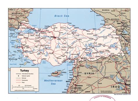
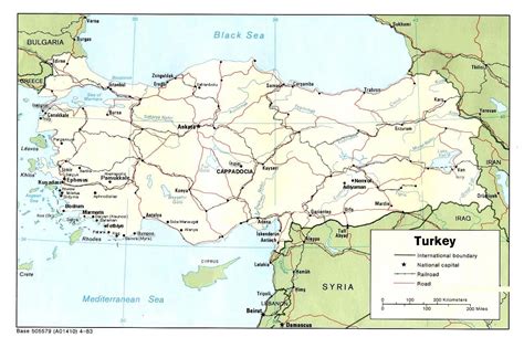
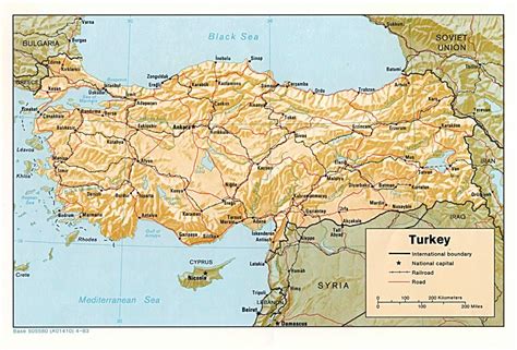
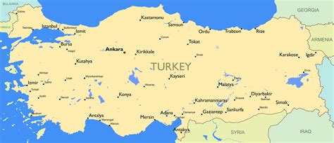
Location: Yahyalı, Turkey
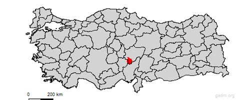
Administration Region: Kayseri
Population: 36331
ISO2 Code: Kayseri
ISO3 Code: TUR
Location Type: Lower-level Admin Capital
Latitude: 38.1
Longitude: 35.3608
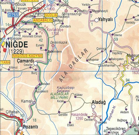
Yahyalı is a town and the southernmost district of Kayseri province in Turkey. The Aladağlar Mountains, a part of the rocky Taurus Mountains, pass through this region as does the River Zamantı.
Mostly covered in forest, the Aladağlar National Park covers 300 km2 (120 sq mi) and extends into the neighbouring districts of Çamardı (Niğde Province) and Aladağ (Adana Province), although the main part is in Yahyalı.
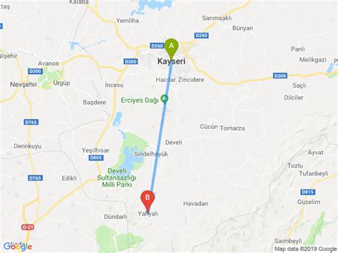
The nearest airport is Kayseri International Airport.

Top Yahyalı HD Maps, Free Download 🗺️
Map
Maps
United States
United States
World Map
China
China
