Location: Yıldızeli 🌎
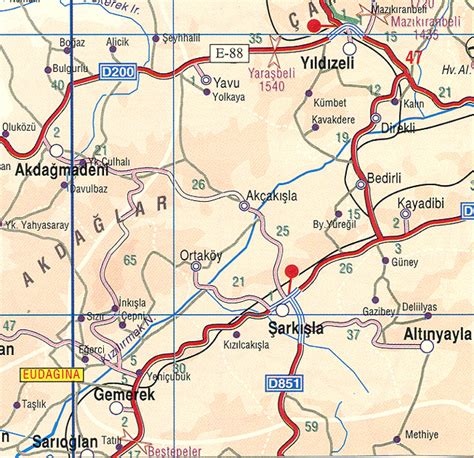
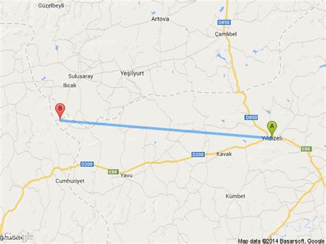
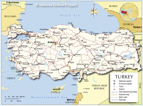
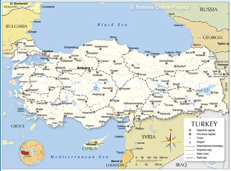
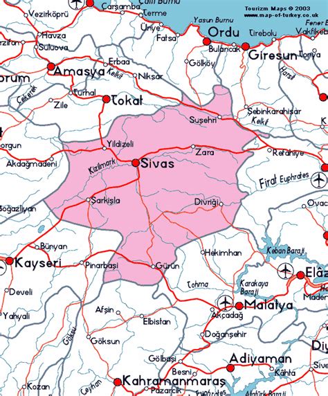
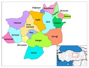
Location: Yıldızeli, Turkey Administration Region: Sivas Population: 31748 ISO2 Code: Sivas ISO3 Code: TUR Location Type: Lower-level Admin Capital Latitude: 39.8642 Longitude: 36.5983
Yıldızeli is a town and a district of Sivas Province of Turkey. The mayor is Mehmet Sabit Karakaş (AK Parti). Yıldızeli has a broad and colorful history and culture. Various social communities reside in Yıldızeli, such as Alevis, Turkmens, Circassians, etc. The district has a lot of touristic places as well as hot springs which are claimed to be curative for some diseases. Yıldızeli has been identified as the site of the town of Phiara (Greek: Φίαρα) which, according to Ptolemy, was located in the district of Sargarausena in Cappadocia.

Top Yıldızeli HD Maps, Free Download 🗺️
Map
Maps
United States
United States
World Map
China
China