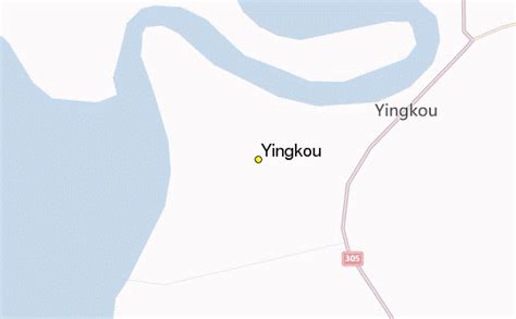
Location: Yingkou 🌎
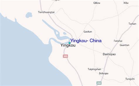
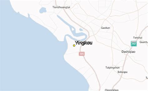
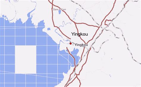
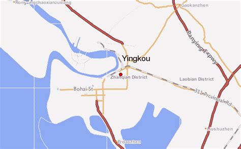
Location: Yingkou, China
Administration Region: Liaoning
Population: 2428534
ISO2 Code: Liaoning
ISO3 Code: CHN
Location Type: Lower-level Admin Capital
Latitude: 40.625
Longitude: 122.219
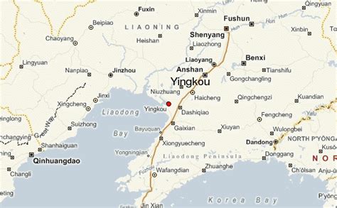
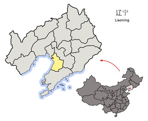
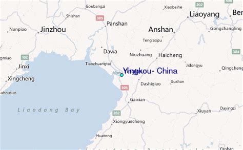
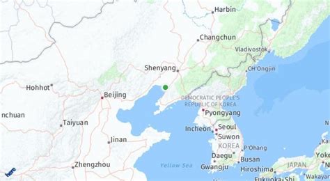
Yingkou (simplified Chinese: 营口; traditional Chinese: 營口; pinyin: Yíngkǒu) is a coastal prefecture-level city of central southern Liaoning province, People’s Republic of China, on the northeastern shore of Liaodong Bay. It is the third-smallest city in Liaoning with a total area of 5,502 square kilometres (2,124 sq mi), and the ninth most populous with a population of 2,328,582 as of the 2020 census, of whom 1,228,198 lived in the built-up (or metro) area made of three urban districts (Zhanqian, Xishi and Laobian) and one county-level city (Dashiqiao). It borders the sub-provincial city of Dalian to the south, the prefectural cities of Anshan to the north and east and Panjin to the northwest, and also shares maritime boundaries with Jinzhou and Huludao across the Liaodong Bay to its west.
Located on the east bank of the Daliao River mouth, Yingkou is an important port city, with the Port of Yingkou being the second-largest container port in the Bohai Sea (after the Port of Tianjin) and Northeast China (after the Port of Dalian), the tenth-largest nationwide, and the 25th-busiest worldwide. Yingkou is classified as a Medium-Port Metropolis.

Top Yingkou HD Maps, Free Download 🗺️
Map
Maps
United States
United States
World Map
China
China
