Location: Ylöjärvi 🌎
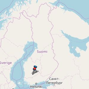
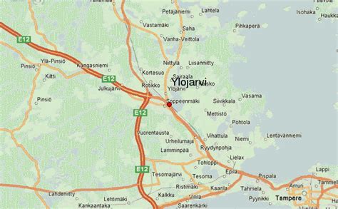
Location: Ylöjärvi, Finland
Administration Region: Pirkanmaa
Population: 32738
ISO2 Code: Pirkanmaa
ISO3 Code: FIN
Location Type: Lower-level Admin Capital
Latitude: 61.55
Longitude: 23.5833
Ylöjärvi (Finnish: [ˈyløˌjærʋi]) is a town and a municipality in the Pirkanmaa region, 14 kilometres (9 mi) northwest of Tampere and 189 kilometres (117 mi) north of the capital city Helsinki in Finland. The town has a population of 33,597 (28 February 2023) and covers an area of 1,324.14 square kilometres (511.25 sq mi) of which 208.62 km2 (80.55 sq mi) is water. The population density is 30.12 inhabitants per square kilometre (78.0/sq mi).
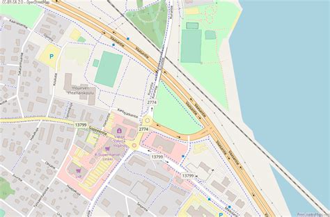
Ylöjärvi is mostly a rural town. It does not have a clear center; the Tampere–Vaasa highway (E12) and the Tampere–Seinäjoki railway divide the municipality’s town center into two major distinct parts: the church village and Soppeenmäki. The railway, completed in 1971, has no passenger seats in the Ylöjärvi area, so buses handle all public transport. The population has increased rapidly in recent years. In 1990 it was slightly over 18,000, while on December 31, 2011 it was 30,942.
The neighbouring municipalities are Hämeenkyrö, Ikaalinen, Kihniö, Nokia, Parkano, Ruovesi, Tampere and Virrat. The municipality of Viljakkala was consolidated with Ylöjärvi on January 1, 2007. The municipality of Kuru was consolidated with Ylöjärvi on January 1, 2009. The coat of arms of Ylöjärvi was designed by Gustaf von Numers and it was confirmed in 1954.Results of the 2021 Finnish municipal elections, resulted in the True Finns being the largest group on Ylöjärvi council, in Ylöjärvi.

Top Ylöjärvi HD Maps, Free Download 🗺️
Map
Maps
United States
United States
World Map
China
China
