Location: Yokohama 🌎
Location: Yokohama, Japan
Administration Region: Kanagawa
Population: 3757630
ISO2 Code: Kanagawa
ISO3 Code: JPN
Location Type: First-level Admin Capital
Latitude: 35.4442
Longitude: 139.6381
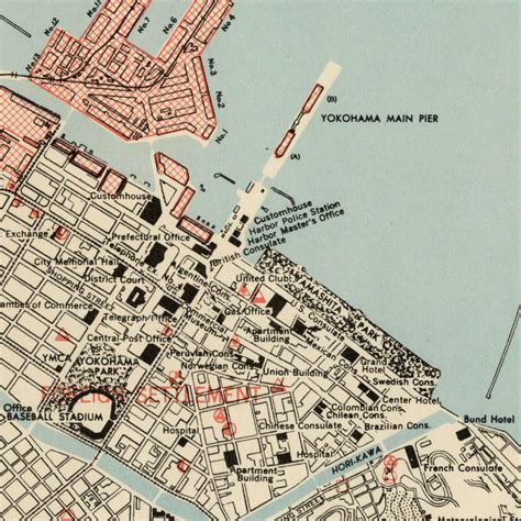
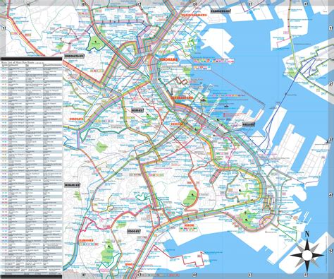
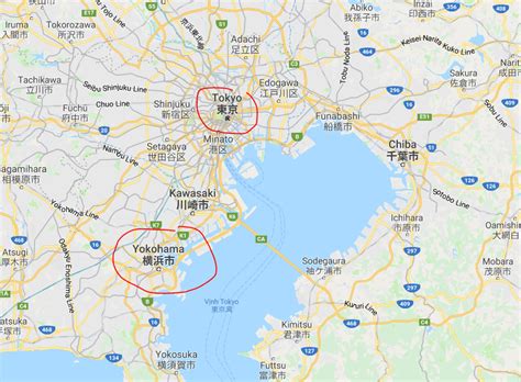
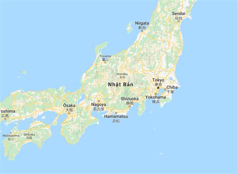
Yokohama (Japanese: 横浜, pronounced [jokohama] ) is the second-largest city in Japan by population and the most populous municipality of Japan. It is the capital city and the most populous city in Kanagawa Prefecture, with a 2020 population of 3.8 million. It lies on Tokyo Bay, south of Tokyo, in the Kantō region of the main island of Honshu. Yokohama is also the major economic, cultural, and commercial hub of the Greater Tokyo Area along the Keihin Industrial Zone.
Yokohama was one of the cities to open for trade with the West following the 1859 end of the policy of seclusion and has since been known as a cosmopolitan port city, after Kobe opened in 1853. Yokohama is the home of many Japan’s firsts in the Meiji period, including the first foreign trading port and Chinatown (1859), European-style sport venues (1860s), English-language newspaper (1861), confectionery and beer manufacturing (1865), daily newspaper (1870), gas-powered street lamps (1870s), railway station (1872), and power plant (1882). Yokohama developed rapidly as Japan’s prominent port city following the end of Japan’s relative isolation in the mid-19th century and is today one of its major ports along with Kobe, Osaka, Nagoya, Fukuoka, Tokyo and Chiba.
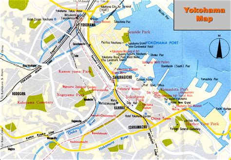
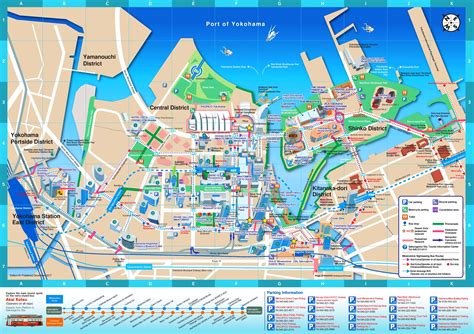
Yokohama is the largest port city and high tech industrial hub in the Greater Tokyo Area and the Kantō region. The city proper is headquarters to companies such as Isuzu, Nissan, JVCKenwood, Keikyu, Koei Tecmo, Sotetsu, Salesforce Japan and Bank of Yokohama. Famous landmarks in Yokohama include Minato Mirai 21, Nippon Maru Memorial Park, Yokohama Chinatown, Motomachi Shopping Street, Yokohama Marine Tower, Yamashita Park, and Ōsanbashi Pier.

Top Yokohama HD Maps, Free Download 🗺️
Map
Maps
United States
United States
World Map
China
China
