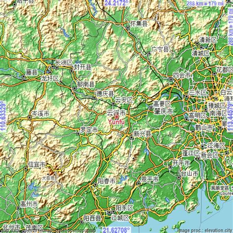
Yunfu (simplified Chinese: 云浮; traditional Chinese: 雲浮; pinyin: Yúnfú), formerly romanized as Wanfow, and historically known as Dong’an (simplified Chinese: 东安; traditional Chinese: 東安; pinyin: Dōng’ān), which was formerly romanized as Tong On, from 1578 to 1913, is a prefecture-level city in western Guangdong province, People’s Republic of China. It borders Zhaoqing to the north, Foshan to the east, Jiangmen to the southeast, Yangjiang to the south, Maoming to the southwest, and the autonomous region of Guangxi to the west. The city spans an area of 7,786.64 square kilometres (3,006.44 sq mi), and has a population of 2,383,400 according to a 2021 publication by the city government.