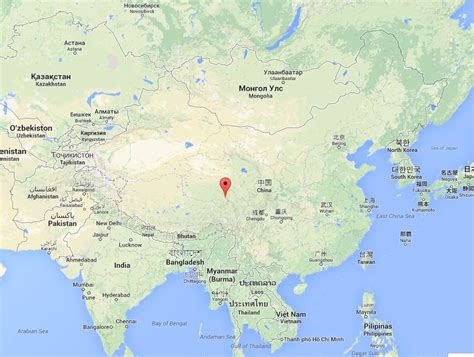
Yushu Tibetan Autonomous Prefecture (Tibetan: ཡུལ་ཤུལ་བོད་རིགས་རང་སྐྱོང་ཁུལ།, ZYPY: Yüxü Poirig Ranggyong Kü, Chinese: 玉树藏族自治州; pinyin: Yùshù Zàngzú Zìzhìzhōu, retranscribed into Tibetan as ཡུས་ཧྲུའུ།), also transliterated as Yüxü or Yulshul, is an autonomous prefecture of Southwestern Qinghai Province, China. Largely inhabited by Tibetans, the prefecture has an area of 188,794 square kilometres (72,894 sq mi) and its seat is located in the town of Gyêgu in Yushu County, which is the place of the old Tibetan trade mart of Jyekundo. The official source of the Yellow River lies within the prefecture. Historically, the area belongs to the cultural realm of Kham in Eastern Tibet.
On 14 April 2010, an earthquake struck the prefecture, registering a magnitude of 6.9 (USGS, EMSC) or 7.1 (Xinhua). It originated in the Yushu Tibetan Autonomous Prefecture, at 07:49 local time.