Location: Zacatlán 🌎
Location: Zacatlán, Mexico
Administration Region: Puebla
Population: 33736
ISO2 Code: Puebla
ISO3 Code: MEX
Location Type: Lower-level Admin Capital
Latitude: 19.9319
Longitude: -97.96
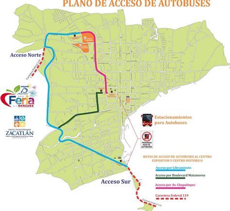
Zacatlán (Spanish: [sakaˈtlan] ; Nahuatl: pronounced [saˈkat͡ɬan]) is a city and municipal seat of Zacatlán Municipality located in the Sierra Norte de Puebla region of Puebla in central Mexico. The area is known for its production of apples, other fruit, cider and fruit wines, which are promoted through the annual Feria de la Manzana and Festival de la Sidra. It is also home to the Relojes Centenario company, the first clock factory in Latin America and the builder of the city’s double sided flower clock in the main square. The historic center of the city is filled with traditional houses with red tile roofs and Zacatlan was designated a “Pueblo Mágico” in 2011. Outside of the city proper, there is a significant indigenous population, the Piedras Encimadas Valley with its rock formations and various waterfalls and ravines.
Top Zacatlán HD Maps, Free Download 🗺️
Map
Maps
United States
United States
World Map
China
China
