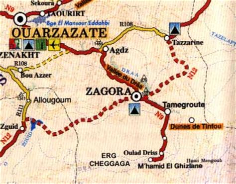
Zagora (Berber language: Tazagurt, Arabic: زاڭورة) is a town located in the Draa River valley in the Moroccan region of Drâa-Tafilalet.
On the base of the Zagora mountain the remains of an Almoravid fortress can still be seen. The exact location of the former Almoravid mosque is still a matter of dispute. Each year the moussem (festival) of the Sufi saint moulay Abdelkader Jilali is celebrated at Zagora.
Languages spoken in the city include Moroccan Arabic, Tachelhit and Tamazight.
A sign at the town border states “Tombouctou 52 days”, the supposed time it takes to get to Timbuktu, Mali on foot or camel. The original sign has been replaced by a mural painting.