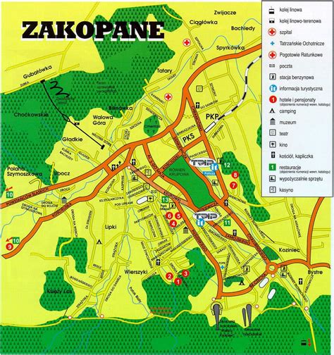
Location: Zakopane 🌎
Location: Zakopane, Poland
Administration Region: Małopolskie
Population: 27490
ISO2 Code: Małopolskie
ISO3 Code: POL
Location Type: Lower-level Admin Capital
Latitude: 49.3
Longitude: 19.95
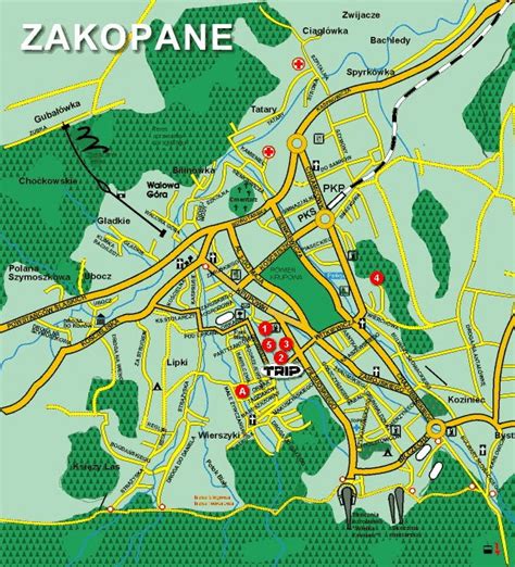
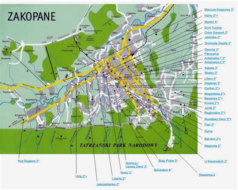
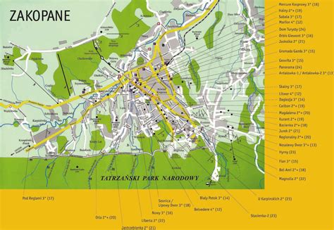
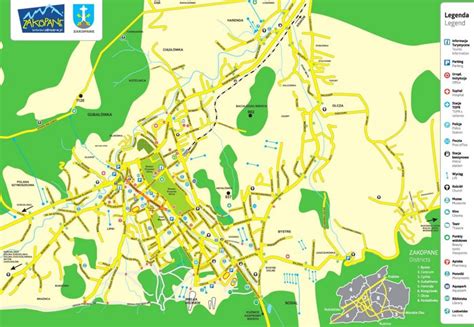
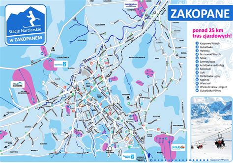
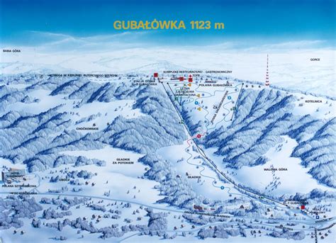
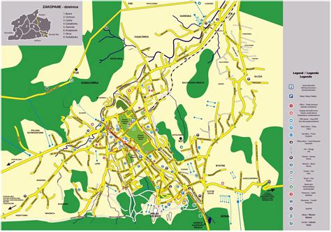
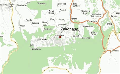
Zakopane (Podhale Goral: Zokopane) is a town in the extreme south of Poland, in the southern part of the Podhale region at the foot of the Tatra Mountains. From 1975 to 1998, it was part of Nowy Sącz Voivodeship; since 1999, it has been part of Lesser Poland Voivodeship. As of 2017 its population was 27,266. Zakopane is a centre of Goral culture and is often referred to as “the winter capital of Poland”. It is a popular destination for mountaineering, skiing, and tourism.Zakopane lies near Poland’s border with Slovakia, in a valley between the Tatra Mountains and Gubałówka Hill. It can be reached by train or bus from the provincial capital, Kraków, about two hours away. Zakopane lies 800–1,000 metres above sea level and centres on the intersection of its Krupówki and Kościuszko Streets.
Top Zakopane HD Maps, Free Download 🗺️
Map
Maps
United States
United States
World Map
China
China
