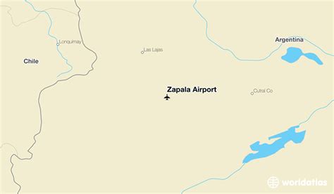
Location: Zapala 🌎
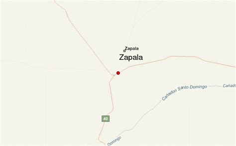
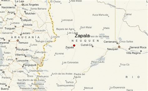
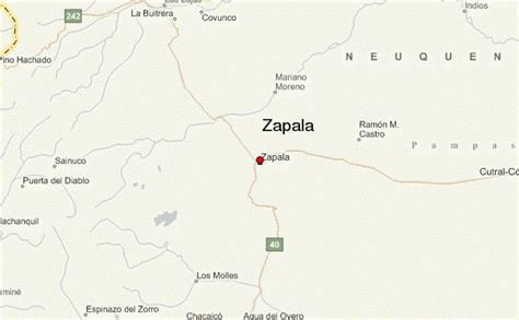
Location: Zapala, Argentina Administration Region: Neuquén Population: 32097 ISO2 Code: Neuquén ISO3 Code: ARG Location Type: Lower-level Admin Capital Latitude: -38.9 Longitude: -70.0667
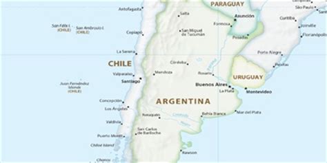
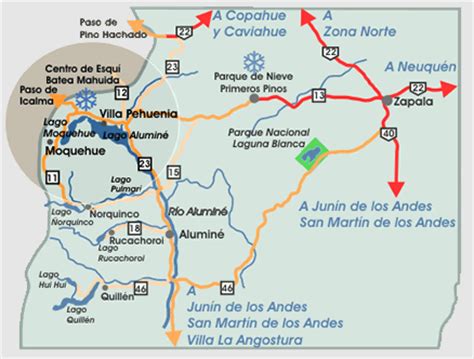
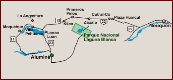
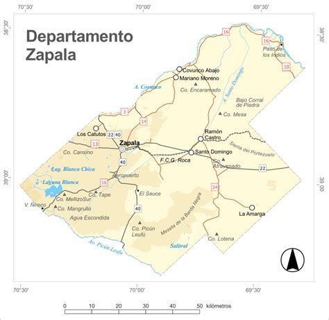
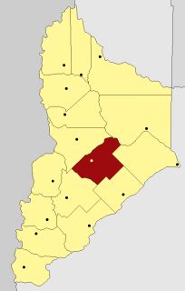
Zapala is a city and touristic destination in the Patagonian province of Neuquén, Argentina with about 32,000 inhabitants according to the 2010 census [INDEC]. The city is located at the geographic center of the province at the confluence of national and provincial roads, on a route to the Andes and Chile. The city hosts a Loma Negra cement plant.Zapala is near the Laguna Blanca National Park and a ski resort and is situated in a steppe region, known as Pehuenia, which has small Araucaria forests and includes the nearby town of Aluminé and other towns.
Top Zapala HD Maps, Free Download 🗺️
Map
Maps
United States
United States
World Map
China
China