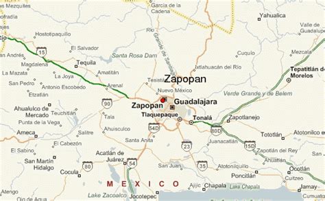
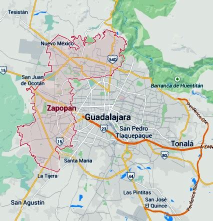
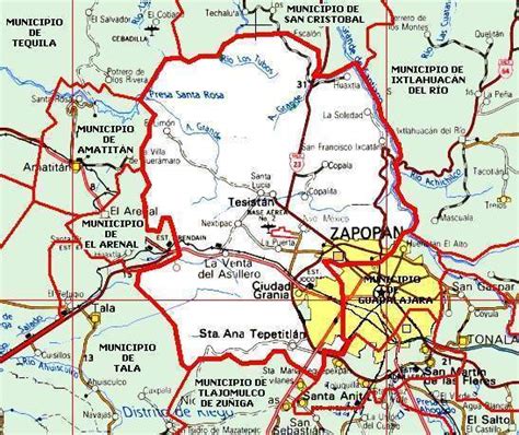
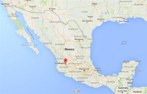
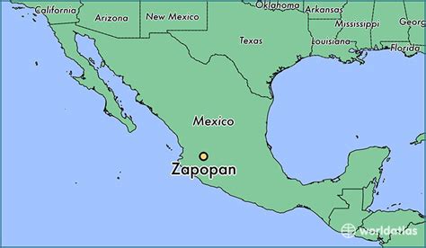
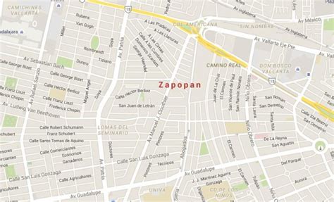
Location: Zapopan 🌎
Location: Zapopan, Mexico
Administration Region: Jalisco
Population: 1476491
ISO2 Code: Jalisco
ISO3 Code: MEX
Location Type: Lower-level Admin Capital
Latitude: 20.7167
Longitude: -103.4
Zapopan (Spanish pronunciation: [saˈpopan]) is a city and municipality located in the Mexican state of Jalisco. Part of the Guadalajara Metropolitan Area, the population of Zapopan city proper makes it the second largest city in the state, very close behind the population of Guadalajara proper. It is best known as being the home of the Virgin of Zapopan, an image of the Virgin Mary which was made in the 16th century. This image has been credited with a number of miracles and has been recognized by popes and even visited by Pope John Paul II. The municipality is also the home of the Centro Cultural Universitario, which contains one of the most important concert venues in Latin America and is the home of the new stadium for the C.D. Guadalajara.The name Zapopan means “among the sapote trees”. It derives from the Nahuatl word tzapotl “sapote” with the addition of the locative suffix -pan. It also has the nickname of “ex Villa Maicera” (“former Corn Village”), as it used to be a major producer of corn. Its seal was designed by José Trinidad Laris in 1941 for the 400th anniversary of the city’s founding.

Top Zapopan HD Maps, Free Download 🗺️
Map
Maps
United States
United States
World Map
China
China
