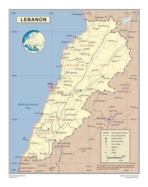
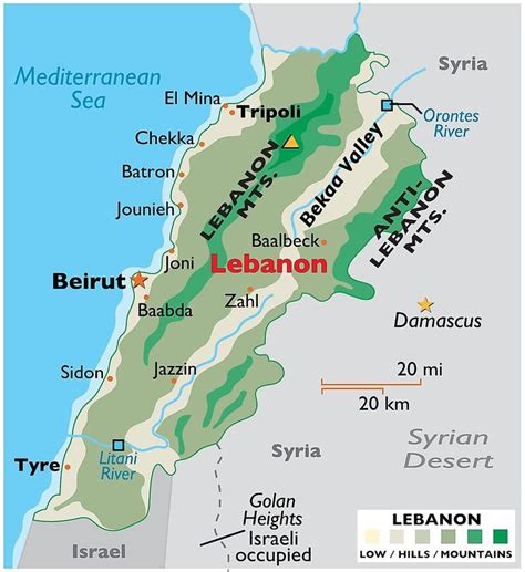
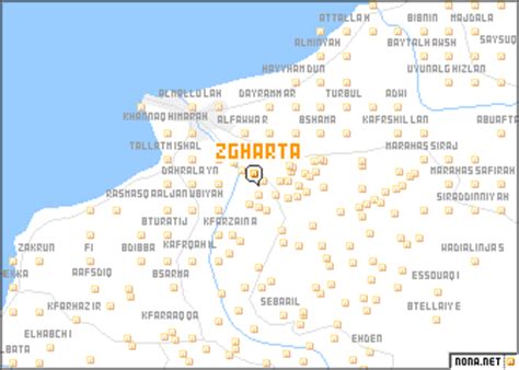
Zgharta (Arabic: زغرتا, Classical Syriac: ܙܓܪܬܐ), also spelled Zghorta, is a city in North Lebanon, with an estimated population of around 50,000. It is the second biggest city in Northern Lebanon after Tripoli. Zgharta is officially the Zgharta-Ehden municipality.Zgharta is about 150 metres above sea level and lies between the rivers of Jouit and Rashein. It is 23 kilometres from Ehden, 11 kilometres from the coastal city of Tripoli, 88.7 kilometres from the capital of Lebanon, Beirut, and 82 kilometres from the nearest Syrian city, Tartous. Its history and people are closely associated with the village of Ehden. Most of the citizens of Zgharta have summer houses in Ehden.
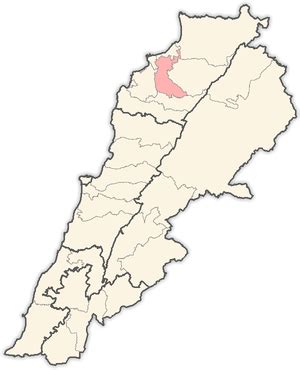
It is the seat and the capital of the Zgharta District (Qadaa’ Zgharta). Zgharta is closely related to the mountain town of Ehden, essentially sharing the same population. Each summer, most of the people in Zgharta move to spend their summer in Ehden; this is reversed in winter when Ehden is practically deserted. Zghartawis speak the Lebanese dialect with a distinctive accent, the original Syriac accent applied on Arabic language. Syriac was taught in local schools till the mid 1900s.
Zgharta had two Presidents of Lebanon: Suleiman Frangieh and René Moawad, and many prominent politicians: Youssef Salim Karam, Hamid Frangieh, Semaan El Douaihy, Suleiman Frangieh Jr, Nayla Moawad, Estephan El Douaihy (ex-MP), Salim Bey Karam, Tony Frangieh (current MP), Jawad Boulos, Michel Moawad (current MP) and Youssef Bahha El Douaihy. Ehden also produced at least four patriarchs of the Maronite Church – Gregorios Of Ehden, David Of Ehden, Jeremiah of Amshit (1199-1230), Youhanna Makhlouf (1609-1633), George Omaira (1634-1644), Estephan El Douaihy (1670-1704) – and an Ottoman era nationalist leader Youssef Bey Karam who led a rebellion against Turkish rule. Political power in Zgharta district is dominated by a few rival families from the town: the Karam, Frangieh, Douaihy, Moawad and Makary.
Traditionally, agriculture was a large portion of the local economy, with olives grown for olive-oil around Zgharta and apple orchards around Ehden. Recently, the service (especially tourism and leisure) and manufacturing sectors have seen significant growth.