Location: Zhangjiakou 🌎
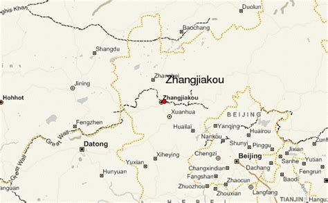
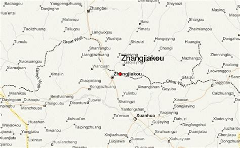
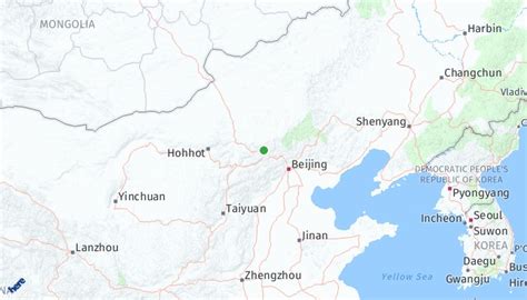
Location: Zhangjiakou, China
Administration Region: Hebei
Population: 4345485
ISO2 Code: Hebei
ISO3 Code: CHN
Location Type: Lower-level Admin Capital
Latitude: 40.769
Longitude: 114.886
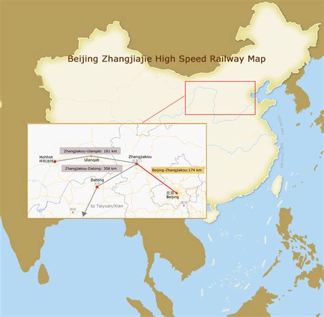
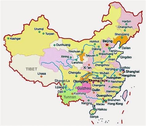
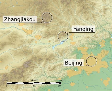
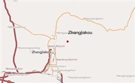
Zhangjiakou (; Chinese: 张家口; pinyin: Zhāngjiākǒu; Mandarin pronunciation: [ʈʂáŋ tɕjá kʰòʊ]) also known as Kalgan and by several other names, is a prefecture-level city in northwestern Hebei province in Northern China, bordering Beijing to the southeast, Inner Mongolia to the north and west, and Shanxi to the southwest. By 2019, its population was 4,650,000 inhabitants on 36,861.56 square kilometres (14,232.33 sq mi), divided into 17 Counties and Districts. The built-up (or metro) area made of Qiaoxi, Qiaodong, Chongli, Xuanhua, Xiahuayuan Districts largely being conurbated had 1,500,000 inhabitants in 2019 on 1,412.7 km2 (545.4 sq mi).
Since ancient times, Zhangjiakou has been a stronghold of military significance and vied for by multiple sides. Hence, Zhangjiakou is nicknamed the Northern Gate of Beijing. Due to its strategic position on several important transport arteries, it is a critical node for travel between Hebei and Inner Mongolia and connecting northwest China, Mongolia, and Beijing. Dajingmen, an important gate and junction of the Great Wall of China is located here.In the south, Zhangjiakou is largely cultivated for agricultural use. In the north, Bashang is a part of the Mongolian plateau and dominated by grasslands. The forest coverage reaches 37%, earning Zhangjiakou the title of National Forest City. According to the Ministry of Environmental Protection, Zhangjiakou has the freshest air and the least PM 2.5 pollution of all Chinese cities north of the Yellow River. Zhangjiakou also possesses 4.6% of China’s wind energy resources, and the city ranks second in solar energy use.: 25–30 Zhangjiakou was one of the host cities at the 2022 Winter Olympics.
Top Zhangjiakou HD Maps, Free Download 🗺️
Map
Maps
United States
United States
World Map
China
China

