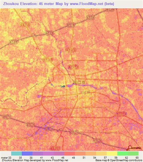
Location: Zhoukou 🌎
Location: Zhoukou, China
Administration Region: Henan
Population: 9026015
ISO2 Code: Henan
ISO3 Code: CHN
Location Type: Lower-level Admin Capital
Latitude: 33.6367
Longitude: 114.7014
Zhoukou (Chinese: 周口; pinyin: Zhōukǒu; Wade–Giles: Chou-k’ou; postal: Chowkow) is a prefecture-level city in eastern Henan province, China. It borders Zhumadian to the southwest, Xuchang and Luohe to the west, Kaifeng to the northwest, Shangqiu to the northeast, and the province of Anhui on all other sides. As of the 2020 census, its population was 9,026,015 inhabitants. However, as of the 2018 estimation, 1,601,300 lived in the built-up (or metro) made up of Chuanhui district and the northern part of Shangshui county.

Top Zhoukou HD Maps, Free Download 🗺️
Map
Maps
United States
United States
World Map
China
China
