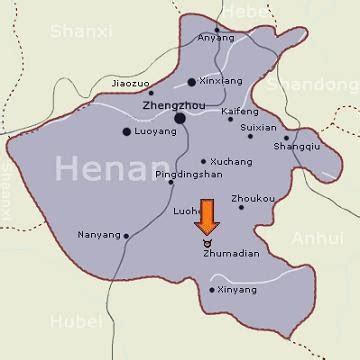
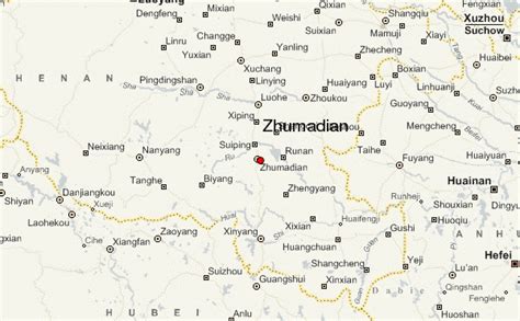
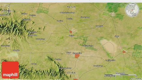
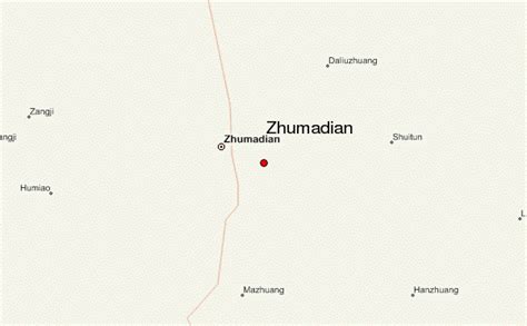
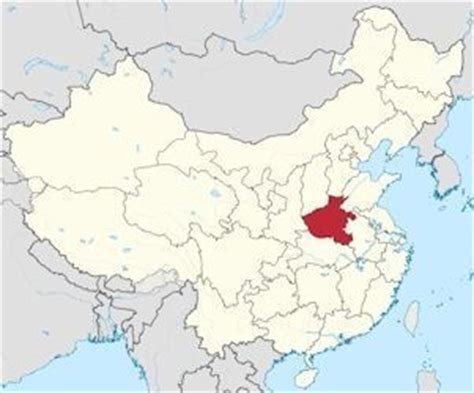
Zhumadian (simplified Chinese: 驻马店; traditional Chinese: 駐馬店; pinyin: Zhùmǎdiàn; postal: Chumatien) is a prefecture-level city in southern Henan province, China. It borders Xinyang to the south, Nanyang to the west, Pingdingshan to the northwest, Luohe to the north, Zhoukou to the northeast, and the province of Anhui to the east.
As of the 2020 Chinese census, its total population was 7,008,427 inhabitants whom 1,466,913 lived in the built-up (or metro) area made of Yicheng District and Suiping County now conurbated.
It was once the center of the Cai state during the Eastern Zhou era. The state leaves its name in several of the subdivisions including Shangcai County and Xincai County.