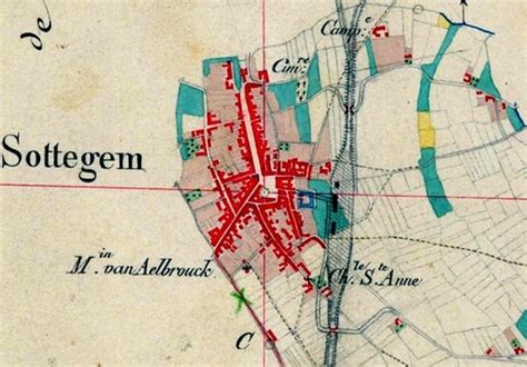
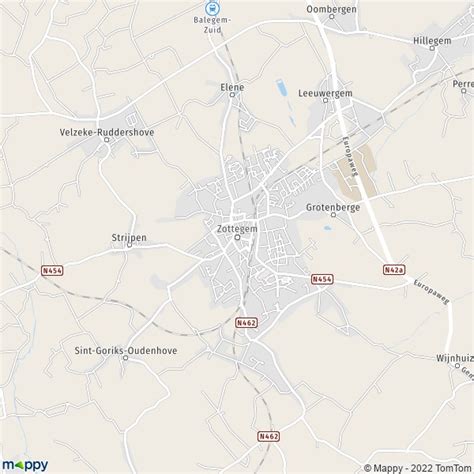
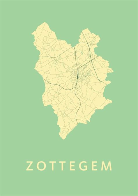
Location: Zottegem 🌎
Location: Zottegem, Belgium
Administration Region: Flanders
Population: 26373
ISO2 Code: Flanders
ISO3 Code: BEL
Location Type:
Latitude: 50.8667
Longitude: 3.8
Zottegem (Dutch pronunciation: [ˈzɔtəɣɛm], Sotteghem and Sottegem in older English and French language sources) is a municipality located in Belgium and more particularly in Flanders, in the province of East Flanders. The municipality comprises the town of Zottegem proper and the villages of Elene, Erwetegem, Godveerdegem, Grotenberge, Leeuwergem, Oombergen, Sint-Goriks-Oudenhove, Sint-Maria-Oudenhove, Strijpen and Velzeke-Ruddershove. On 1 January 2018, Zottegem had a total population of 26,373. The total area is 56.66 km2 which gives a population density of 470 inhabitants per km2.
Zottegem is part of the hilly geographical area of the Flemish Ardennes (Vlaamse Ardennen); the hills and cobblestone streets (Paddestraat) are regular locations in the springtime cycle classics of Flanders. The city is known for its ties with Lamoral, Count of Egmont; Lamoral has a castle (Egmontkasteel), a museum (Egmontkamer) and two statues in the centre of Zottegem. He is buried in a crypt (Egmontcrypte) under the church. Leeuwergem castle in Elene is an 18th-century stately home; Breivelde castle in Grotenberge is surrounded by an English landscape garden. The archaeological museum in Velzeke exhibits findings from Gallo-Roman culture.

Top Zottegem HD Maps, Free Download 🗺️
Map
Maps
United States
United States
World Map
China
China


