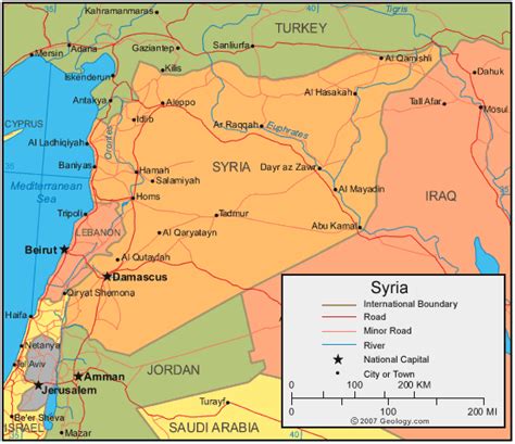
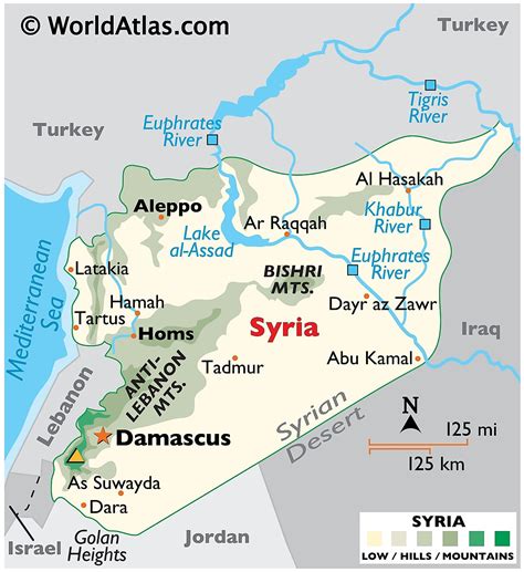
Hama (Arabic: حَمَاة Ḥamāh, [ħaˈmaː]; Syriac: ܚܡܳܬ, romanized: ħ(ə)mɑθ, lit. ’fortress’; Biblical Hebrew: חֲמָת Ḥamāṯ) is a city on the banks of the Orontes River in west-central Syria. It is located 213 km (132 mi) north of Damascus and 46 kilometres (29 mi) north of Homs. It is the provincial capital of the Hama Governorate. With a population of 854,000 (2009 census), Hama is the fourth-largest city in Syria after Damascus, Aleppo and Homs.The city is renowned for its seventeen norias used for watering the gardens, which are locally claimed to date back to 1100 BC. Though historically used for purpose of irrigation, the norias exist today as an almost entirely aesthetic traditional show.